
Trace Hilliard Streets by Address
For a Hilliard street search, preserve the number, direction, street name, and secondary unit. The Franklin County Auditor address search is the Hilliard starting record because it ties a Hilliard site address to a parcel, owner field, transfer detail, and legal description. That Hilliard owner field is an ownership clue, not a list of everyone at the location. Hilliard’s address standards also make direction and unit meaningful, so a partial Hilliard address can join the wrong record.
- Enter the Hilliard address in the Auditor search and save the site address, parcel ID, legal description, current owner, and latest transfer detail.
- Open the same parcel in the Auditor map tools to make sure the selected Hilliard lot is on the intended street segment.
- Use the Hilliard parcel ID and legal description in Recorder work, then read the deed that explains the transfer.
- For a particular known Hilliard name, use Ohio’s name-and-county voter route as a limited registration check. It is not a street roster.
- Search the Hilliard buyer and seller roles in the deed index to extend ownership evidence backward one transfer at a time.
- For an earlier Hilliard household question, test the address in a historical street section and then compare the closest released census.
This Hilliard sequence moves from an address to an owner, through GIS and deeds, then to a name-based voter route and historic directory evidence. It keeps the Hilliard address trail useful without treating one database as a complete household list.
Hilliard Street Directory Search Fields
The Hilliard Auditor separates its address form into fields instead of asking for one fully formatted line. Enter the Hilliard street number when known, choose the direction, type the street name without its suffix, and add the Hilliard unit where needed. The same form supports a wildcard such as *High for a named street and S *High for a directional example. Hilliard results can reach a 500-record limit, so a street number or unit is useful for narrowing. Call 614-525-4663 for Hilliard address-range help.
| Auditor field | How it works | Hilliard street use |
|---|---|---|
| Street No | Optional Hilliard text field | Use the Hilliard house or building number to narrow a street result. |
| Direction | Optional selector | Keep the Hilliard directional part when the street has one. |
| Street Name Only | Hilliard main name field, no suffix | Leave out Rd, Ave, Blvd, and St; a wildcard can broaden the name. |
| Unit | Optional Hilliard text field | Use it to separate secondary addresses in one Hilliard building. |
| Parcel ID | Separate Hilliard search mode | Enter all or part without dashes after a parcel has been identified. |
The Auditor address form shown here is the Hilliard street directory’s practical front door.
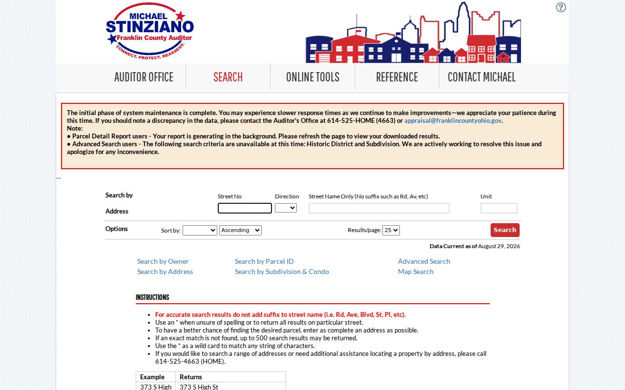
Its separate number, direction, name, and unit fields explain why pasting a whole address into one box can miss a valid Hilliard parcel.
Map a Hilliard Street Segment
The Franklin County Auditor Parcel Viewer is the map check between a Hilliard street search and a Recorder document. Its documented Search Parcel Data tools include By Shape, By Value, By Spatial, and Results. By Shape lets a Hilliard researcher draw an area; By Spatial lets a Hilliard researcher apply a distance or relationship to parcels. Identify opens a Hilliard parcel popup, while Layer List can show road centerlines, parcel labels, and administrative layers.
Use the Viewer result for a Hilliard parcel to confirm geometry, not to make an occupancy claim. Click the Viewer link back to Property Search for the Hilliard parcel card, then compare the site address, legal description, and transfer information. A street name can repeat across nearby service areas, so a Hilliard map position is more reliable than a name alone.
Note: Parcel boundaries and map labels help select the right lot, but the Auditor and Recorder remain the sources for ownership and recorded transfer evidence.
Read a Hilliard Street Parcel
A Hilliard parcel card distinguishes the physical Hilliard site from tax correspondence. It can show an owner name and owner address, Hilliard site address, legal description, parcel number, transfer date, transfer price, instrument type, tax district, acreage, value, and related property facts. The Hilliard site address is the parcel’s location. The owner mailing address is where the county tax roll directs correspondence for a Hilliard property, which can be somewhere else.
Record the Hilliard legal description before opening a deed. That land description for a Hilliard parcel can survive a changed street format, a directional suffix, or later subdivision work. It also gives the Recorder’s legal-description search a better key than a loosely remembered Hilliard street address. Owner-occupancy and tax-credit fields for a Hilliard parcel are administrative entries, not proof of every person at the property.
Hilliard Street Record Coverage
Different Hilliard address records answer different questions. The table separates the address-keyed sources so an ownership fact is not confused with a dated city record or an historical household clue.
| Address record | Custodian | Useful result | Access route |
|---|---|---|---|
| Property roll and parcel card | Franklin County Auditor | Owner, site, mailing address, legal description, transfer and tax context | Address, owner, parcel, map, or intersection search |
| Parcel map | Auditor GIS | Boundaries, labels, road centerlines, layers, and selected lots | Parcel Viewer and GIS staff |
| Recorded deeds and plats | Franklin County Recorder | Party roles, dates, document references, and legal descriptions | Cloud Search, counter, phone, or email |
| Tax property search | Franklin County Treasurer | Tax bill and mailing-route context | Name, street address, parcel ID, or counter |
| Permit and planning records | Hilliard Community Development | Address-specific project or application history | OpenGov submission route or City Clerk request |
| Historic directories and census | CML and archival sources | Dated household clues by name or address | Library shelves, digital collection, microfilm, and consultation |
The parcel ID and legal description bridge several Hilliard street records. A source that returns no result may simply be the wrong custodian, time period, or record type.
Follow Hilliard Street Deeds
The Franklin County Recorder Advanced Search supports party names, grantor, grantee, recorded date range, document type, document number, book, volume, page, OCR full text, Subdivision Legal, and Freeform Legal. Begin with the owner and transfer clues from the Hilliard parcel card. A current buyer is the grantee on the purchase deed. The seller is the grantor, and that seller usually becomes the next grantee search when moving backward.
The Recorder’s public collection includes deeds, mortgages, releases, liens, assignments, plats, leases, and partnerships. Those documents can explain a land transaction, but they do not create a street-by-street list of residents. The counter at 373 S. High Street, 18th Floor, Columbus, is open Monday through Friday from 8 a.m. to 4 p.m.; Customer Service can help with the search system but does not perform a title examination.
The Recorder’s Property Alert information illustrates a separate current notice service for recorded name matches.
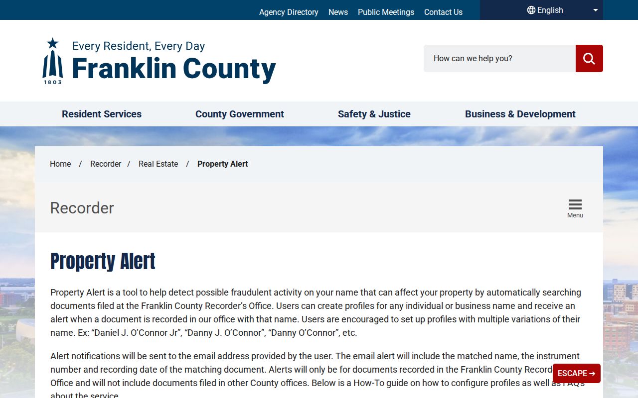
Keep a recorded date and instrument reference with the Hilliard street file, since those details make later Recorder or counter follow-up more precise.
Hilliard Street Grid Rules
Hilliard GIS staff assign address numbers from an existing grid. Odd numbers are on west and south sides, while even numbers are on east and north sides. A unit, apartment, suite, lot, or space is a secondary unit, not part of the street number. Directions and suffixes are controlled parts of the full street name, especially where a loop or circle needs a directional ending.
The City checks potential street-name conflicts across 43016, 43026, 43119, 43221, and 43228 because those ZIP service areas overlap City, Police, and Norwich Fire contexts. That is a Hilliard street-directory quirk worth saving with every search: note the direction, suffix, number, unit, municipality, ZIP, and legal description. City GIS questions can go to the official address request route, gis1@hilliardohio.gov, or 614-334-1258.
Hilliard Street Permit Requests
Hilliard’s OpenGov portal is a verified application and submission channel for address requests, zoning certificates, fences, signs, and related planning work. It was not confirmed as a public historical permit-search database. When an older permit, zoning record, plan, or council item is needed, describe the Hilliard street address, approximate year, document type, and any parcel or plan reference in a request to the City Clerk.
The City Clerk of Council accepts public-record requests at publicrecords@hilliardohio.gov, City Hall, 3800 Municipal Way, Hilliard, OH 43026, or 614-334-2365. Regular inspection is stated as 8 a.m. to 5 p.m. weekdays. Ohio Public Records Act requests need enough detail to locate the record, but the City says a requester does not need to provide an identity or purpose. A partly exempt record may be redacted and released in part.
Hilliard Street Tax Clues
The Franklin County Treasurer Property Search supplies the tax side of a Hilliard parcel through a name, street address, or parcel ID. It is useful when a street file needs a tax-bill or mailing-route check after the Auditor match. The Treasurer is at 373 S. High Street, 17th Floor, and can be reached at 614-525-3438.
A tax mailing address can be useful for contacting the right office about an account, but it can differ from the Hilliard site address. Treat it as correspondence information, not a statement about who is presently at the property.
The Treasurer search page provides this property-search entry point.
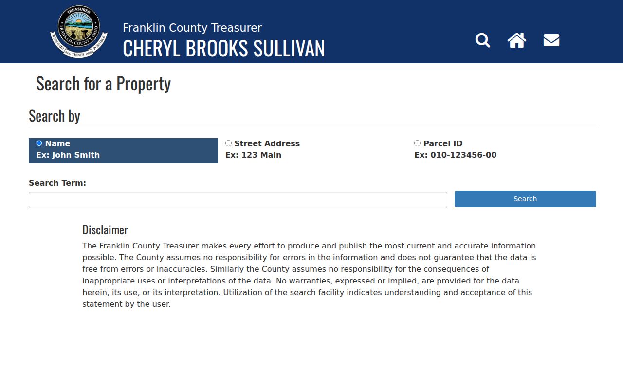
Using the same parcel ID across the Auditor, Viewer, Recorder, and Treasurer helps keep a Hilliard street record tied to one lot.
Hilliard Address Record Terms
Property vocabulary helps Hilliard address records stay accurate when an address changes form or a record uses land language instead of a mailing address.
- Parcel
- A county-defined piece of land identified by a parcel number in Auditor and map records.
- Situs address
- The physical location of a parcel. It may differ from the owner mailing address.
- Plat
- A recorded map that can connect a subdivision, lot, or block description to a Hilliard street location.
- Criss-cross directory
- An address-arranged directory section used to look for a dated household clue, rather than an ownership record.
These terms are especially useful in older Hilliard searches, where a parcel’s legal description may identify the same land more reliably than a remembered street format.
Historic Hilliard Street Households
For a past household on a Hilliard street, Columbus Metropolitan Library’s Main Library holds city directories back to 1841, with street-address sections beginning in 1911. Coverage for a particular Hilliard address must be checked for the year, and a directory occupant is not necessarily the property owner. Search the address section when available, then the alphabetical name section, and pair the result with the nearest released federal census.
CML also holds Hilliard-area microfilm, including Hilliards Times from 1927 to 1934 and Hilliard Weekly Review from 1961 to 1964. Those sources can clarify a dated name or event between deeds. The collection details belong with the Hilliard City Directories, while the modern Hilliard street directory remains anchored in the parcel record.
Note: A directory and census can support a time-specific household clue, but both should be compared with name, address, chronology, and parcel evidence.
Hilliard Street Privacy Limits
A Hilliard street directory cannot identify every person connected to an address. Land records show recorded ownership, while city directories and census sources are dated and selective. Ohio’s voter self lookup is name-and-county based, not a browseable map of Hilliard streets. Safe at Home protections under R.C. 111.41–111.47 and public-service-worker redaction protections under R.C. 149.45 can lawfully limit address visibility. Do not infer a protected address from gaps or try to reconstruct it.
Ohio Public Records Act R.C. 149.43 requires release of nonexempt portions with redaction where needed. Ask the custodian about a specific missing or redacted record rather than assuming a private fact can be found elsewhere.